As we welcome the new year, we embark on a retrospective journey to appreciate the SHOWCASE biodiversity research produced thus far, starting with “rasterdiv—An Information Theory tailored R package for measuring ecosystem heterogeneity from space: To the origin and back”.
This co-funded SHOWCASE paper, published in the Methods in Ecology and Evolution, presents a new R package—rasterdiv—to calculate heterogeneity indices based on remotely sensed data. Measuring heterogeneity from space would enable the understanding of ecological patterns and processes acting across the landscape over different time periods, which is crucial for guiding effective management practices.
Ecosystem heterogeneity is recognised as a key ecological indicator of several ecological processes and functions such as species diversity patterns and change, metapopulation dynamics, population connectivity or gene flow. Scientific literature includes a number of definitions for heterogeneity. In this paper, it is approached as an umbrella concept representing the degree of non-uniformity in land cover, vegetation and physical factors such as topography, soil, topoclimate and microclimate.
No single measure can provide a full description of all the different aspects of ecosystem heterogeneity. In light of that, the proposed rasterdiv
Read the full paper here.
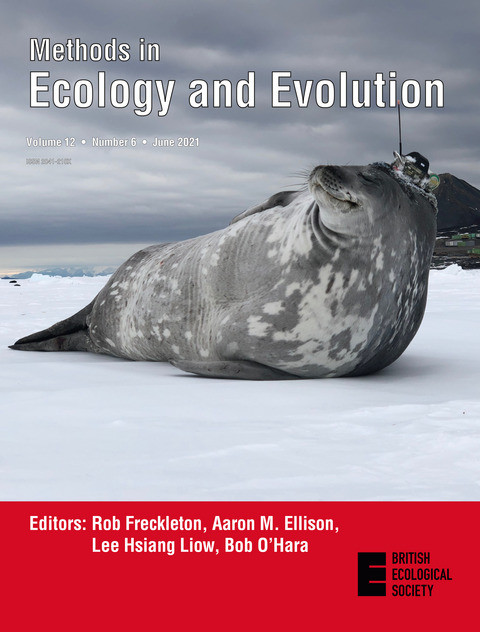
Photo: Cover picture of Methods in Ecology and Evolution, Volume 12, Issue 6. Weddell seal carrying a satellite tag. Credit: ©Robert Harcourt with permit DOC-69331-MAR, IMOS (Integrated Marine Observing System).
